Skip to content
Facebook
Twitter
YouTube
Search
I JUST WANT 2 RIDE!!
Home
Motorcycle Bucket List
About this motorcycle blog
A Podcast for the 2 Wheel World
Awards (well kinda)
MD
September 2, 2016
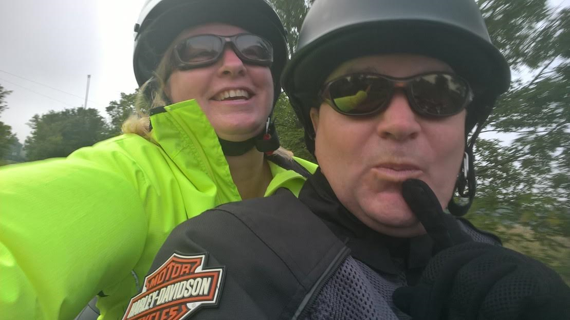
Motorcycle Ride to nowhere… unless Lisbon and Damascus count as destinations.
warrenscottmassey
July 20, 2015
Motorcycle and Car Show
warrenscottmassey
June 11, 2015
Hancock Visitor Center: C and O Canal Motorcycle Ride
warrenscottmassey
June 18, 2014
Motorcycle ride on the Harpers Ferry Road.
warrenscottmassey
June 13, 2014
Lock 38: C & O Canal Motorcycle Ride
warrenscottmassey
June 7, 2014
Whites Ferry: C & O Canal Motorcycle Ride
warrenscottmassey
December 5, 2013
Brunswick Vistors Center: C & O Canal Motorcycle Ride
warrenscottmassey
November 12, 2013
Catoctin Aqueduct – C&O Canal Motorcycle Ride
warrenscottmassey
November 9, 2013
Allstate Insurance Helping Motorcycle Safety
warrenscottmassey
November 4, 2013
Point of Rocks – C&O Canal Motorcycle Ride
warrenscottmassey
1
2
Next Page
Archives
News.
Recalls.
Touring
.
Ride to Eat
.
Vintage
.
Moto TV
.
Moto
Rides
.
C&O Canal
.
Loading Comments...
Write a Comment...
Email (Required)
Name (Required)
Website