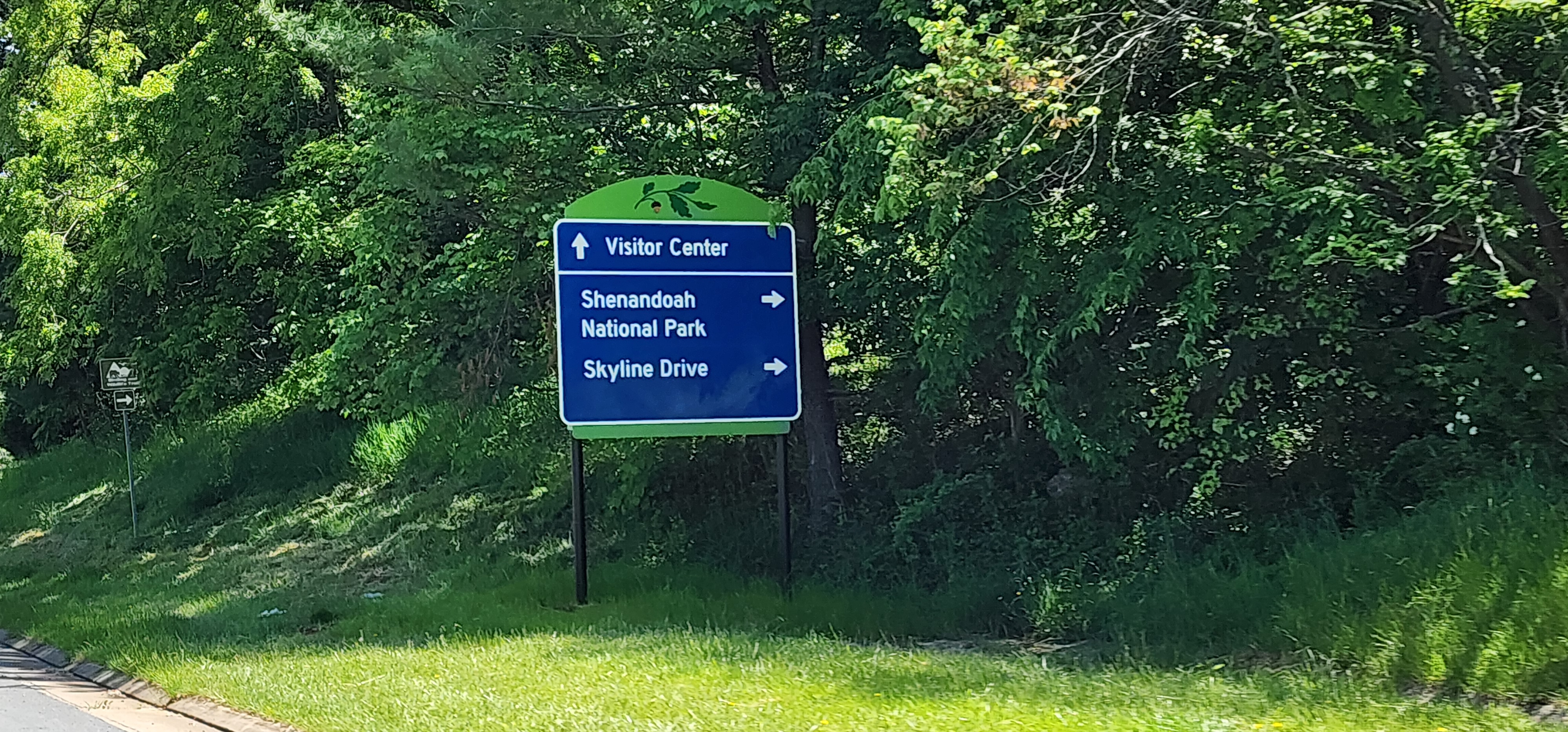
Front Royal is set at the northern end of Skyline Drive, one of the premier motorcycling destinations on the east coast. Thousands of motorcyclists pass through Front Royal on their way to Skyline Drive or to parts unknown as they leave the National Park. At most they spend a night in town before heading on their way.
However, riders should spend a day or two riding in the Front Royal area. There are more than a few great riding roads and routes that will appeal to every motorcycle rider. Adventure bikers, you can check out the availability of roads in the George Washington National Forest as some become open to motorcycles, there is even a Jeep “Trail of Honor” that will put your skills to the test.
Fort Valley was first surveyed by George Washington in 1748. Washington would later make plans for Fort Valley to be his winter retreat, had the revolutionary army been defeated, as it has a lot of natural defensive features.
Between the Revolutionary War and the Civil War, the valley was a major source of pig iron for the new nation. During the Civil War the mountains surrounding the valley served as observation posts for the Confederate Army, overlooking multiple local battles.
Canyon Carving and Valley Riding
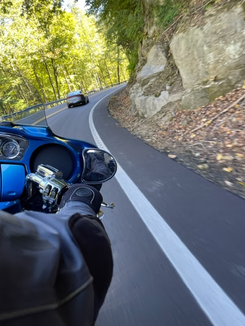
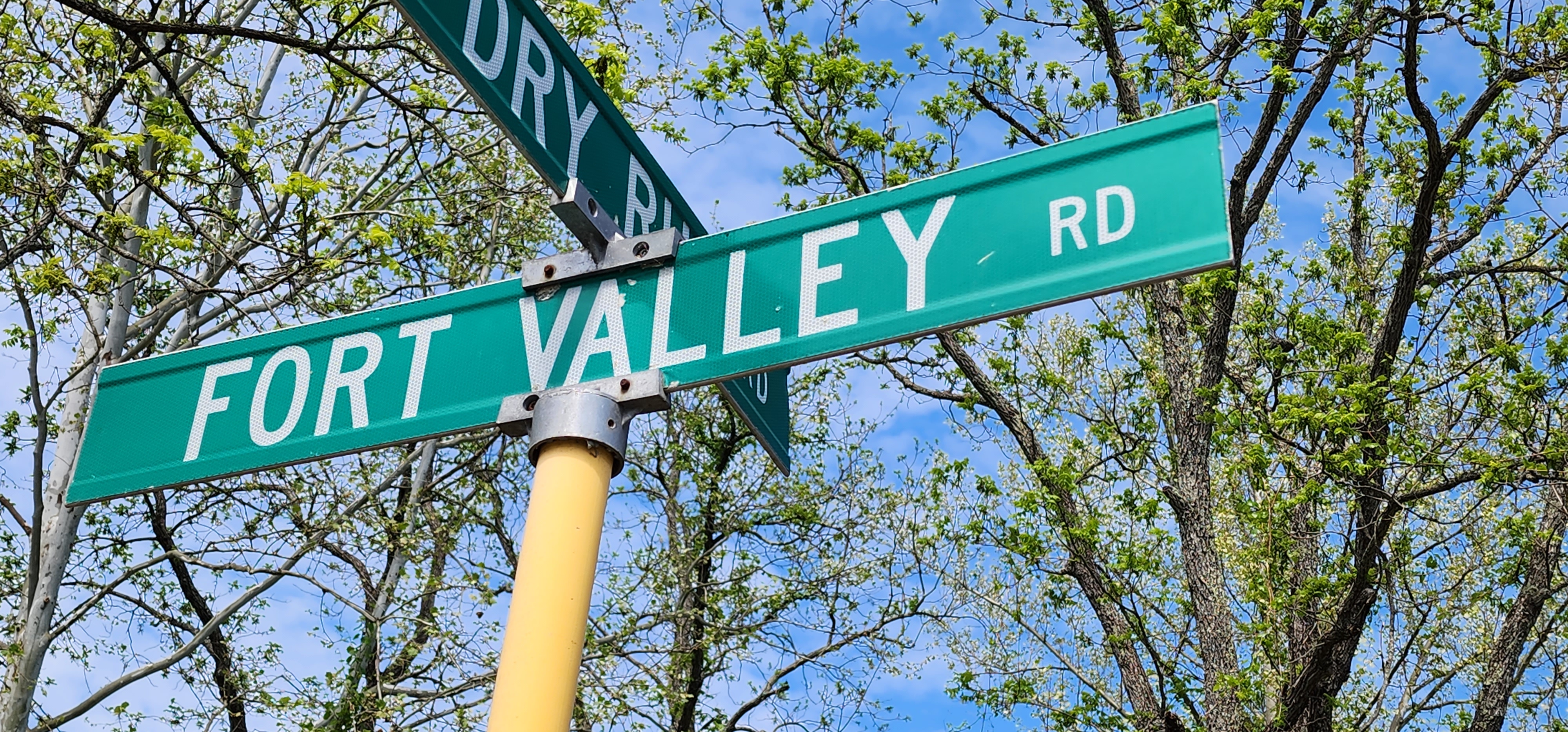
One of the best kept “secret” motorcycle riding roads around Front Royal is Fort Valley Road. A ride that is part canyon carving and relaxing valley riding. The ride will take about 2-3 hours, depending on how often you stop to take pictures or visit some of the local attractions along the way.
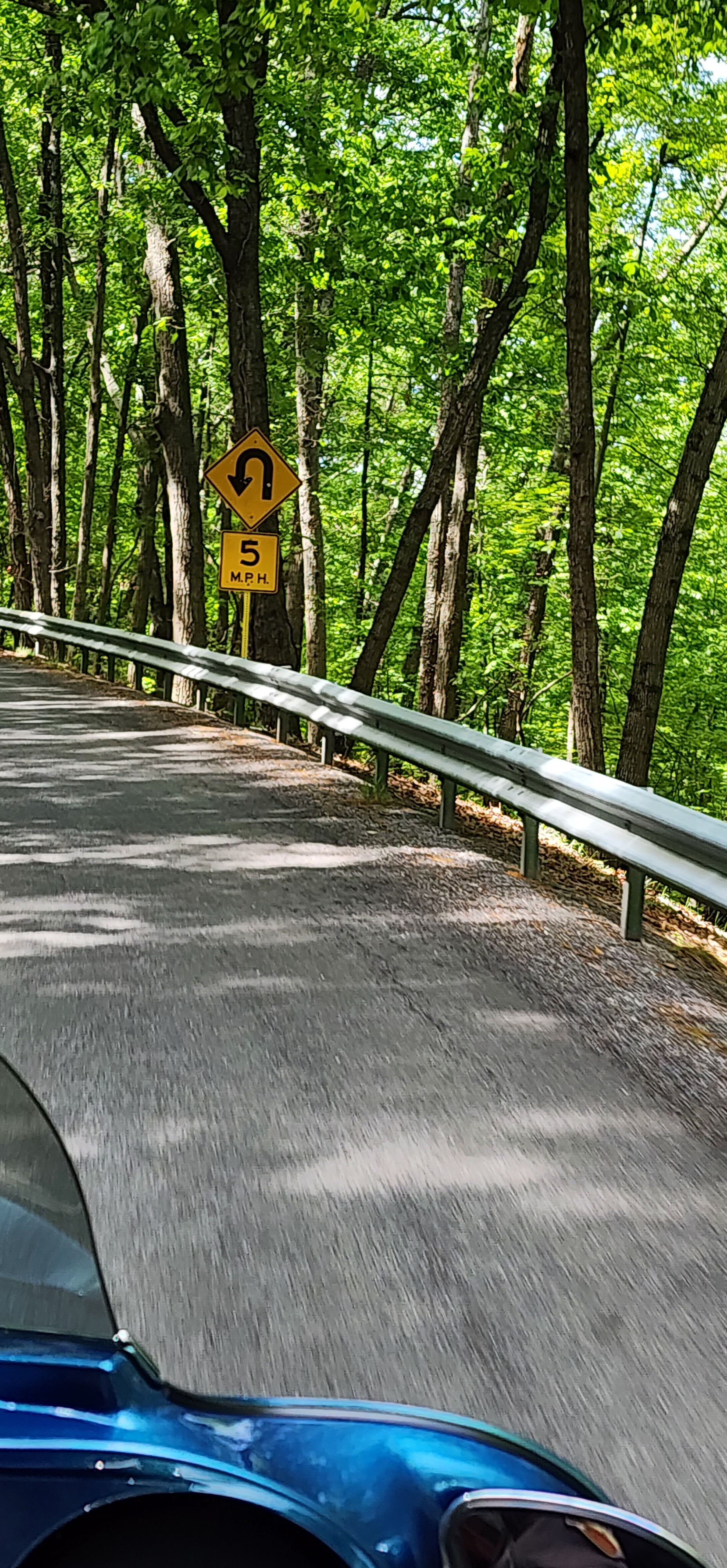
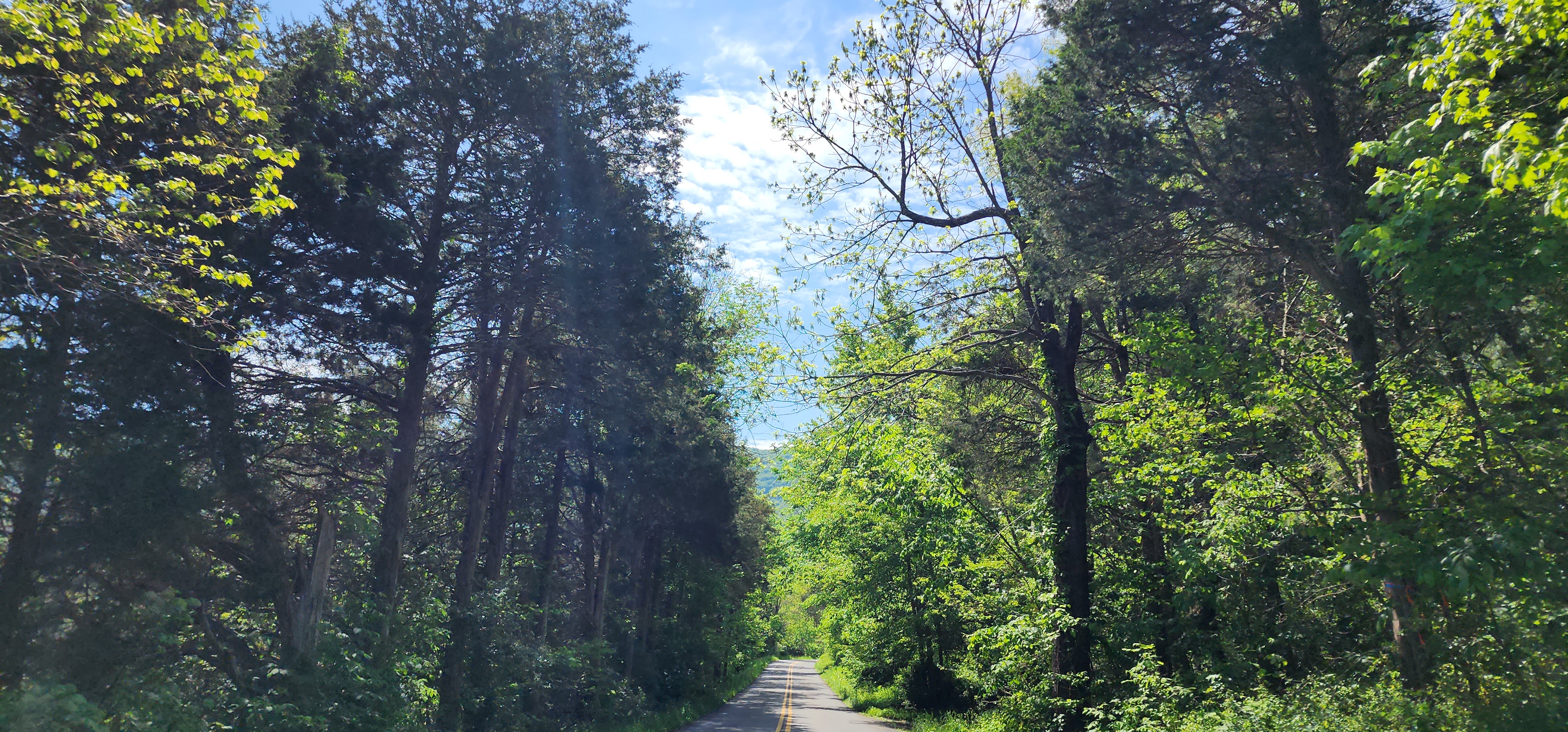
Once you turn onto Fort Valley Road it is just a few minutes before you are whipping your motorcycle through a tight canyon. Rock wall cliffs on one side and a sharp drop into creek on the other will keep your attention very tightly focused. After a while, that canyon passage will open into a farming valley.
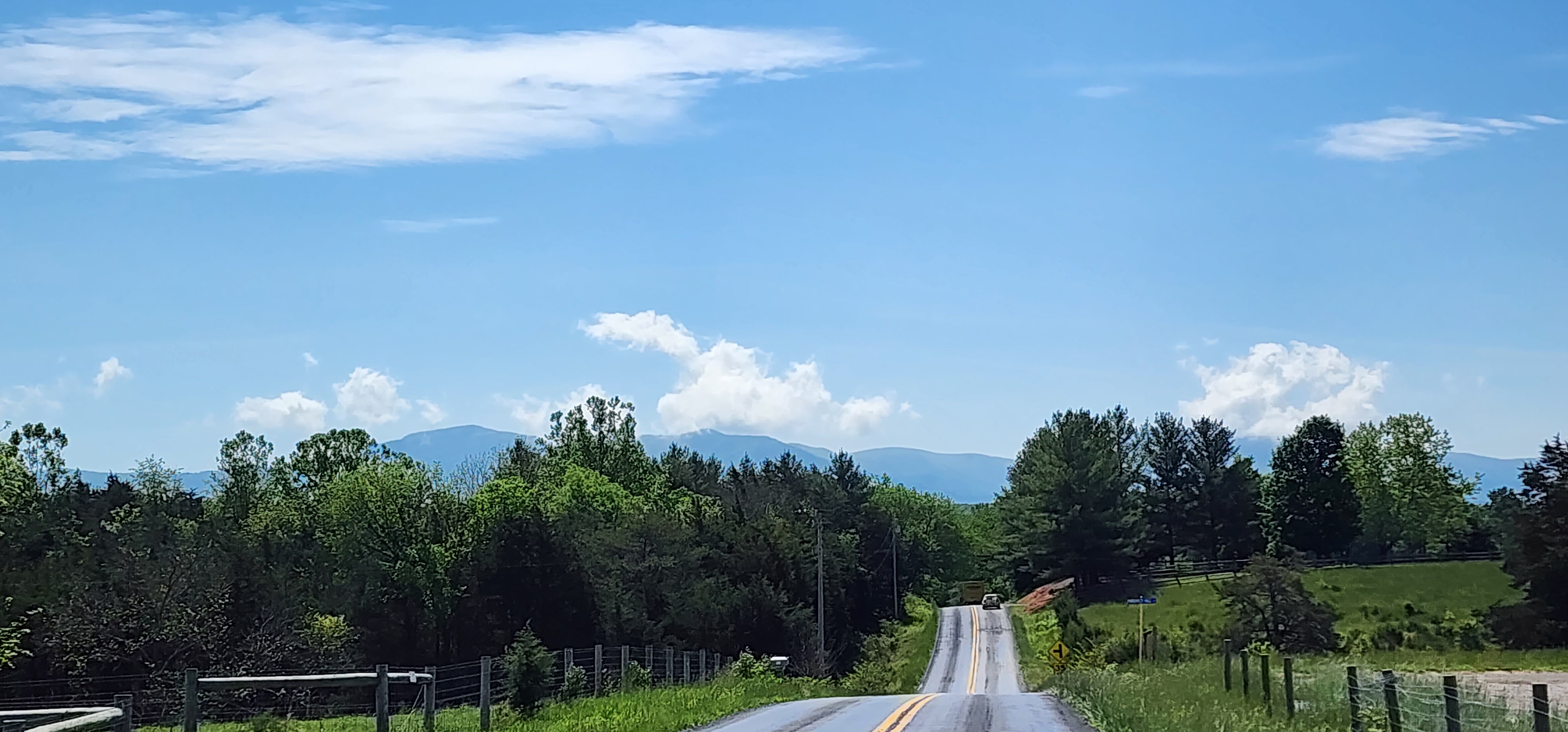
You will ride for miles through a mix of green and amber fields intermixed with forest treescapes. This is the part of the ride that will have you sitting back and admiring the views of the steep mountains to your left and right and the family farms you motorcycle through.
But before long you are at the southern end of the valley where you will encounter an unmarked section of the road. This part of Fort Valley Road is a steep climb out of the valley through twists and tight hairpin curves. As soon as you crest the top of the mountain you will begin a just as steep drop to the bottom of the mountain. The views of the Shenandoah Valley as you descend can be quite awesome.
Once at the bottom you will leave Fort Valley Road and make your way back to Front Royal via US 340. You will find that when you get back you just might want to do this loop a second time.
Local Highlights along the ride:
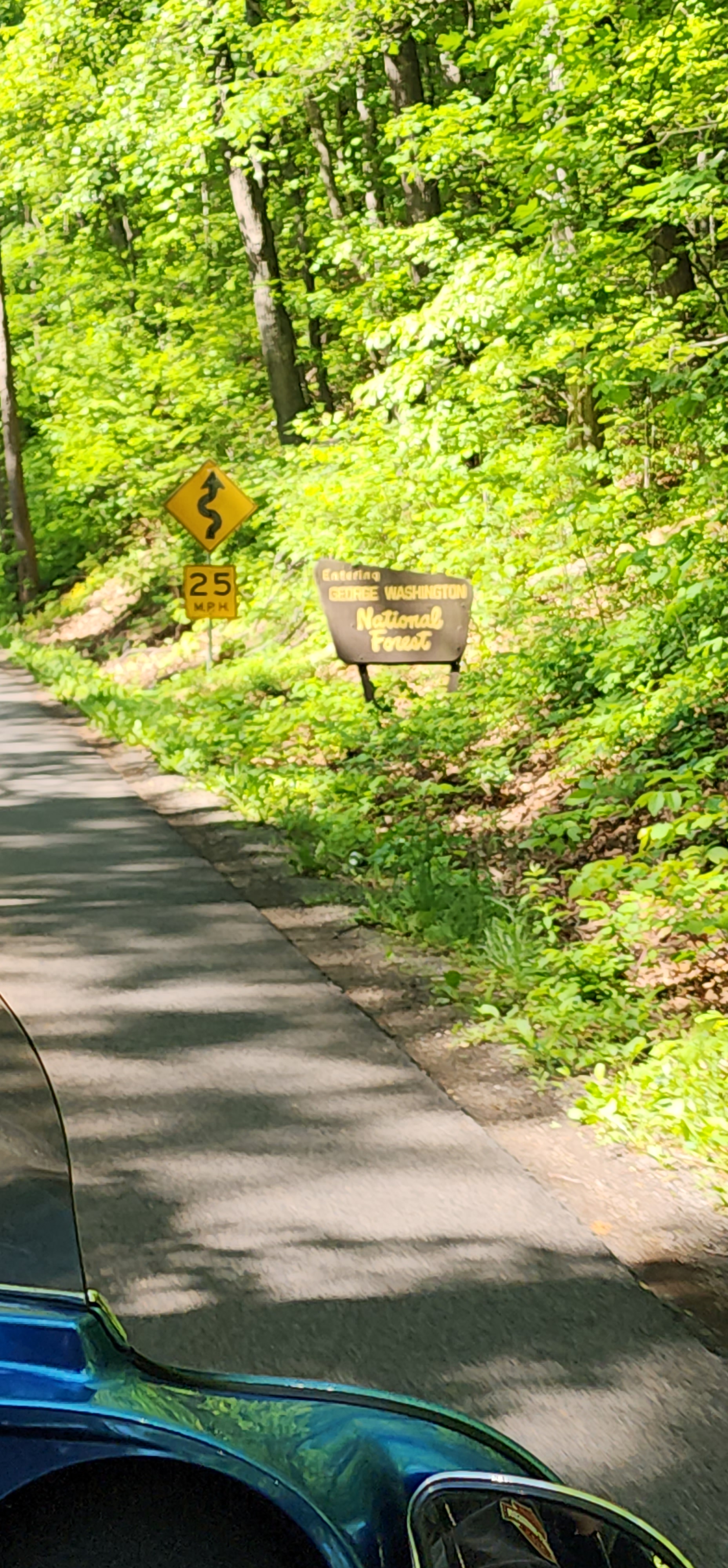
George Washington National Forest
Fort Valley Museum (open irregularly)
The route:
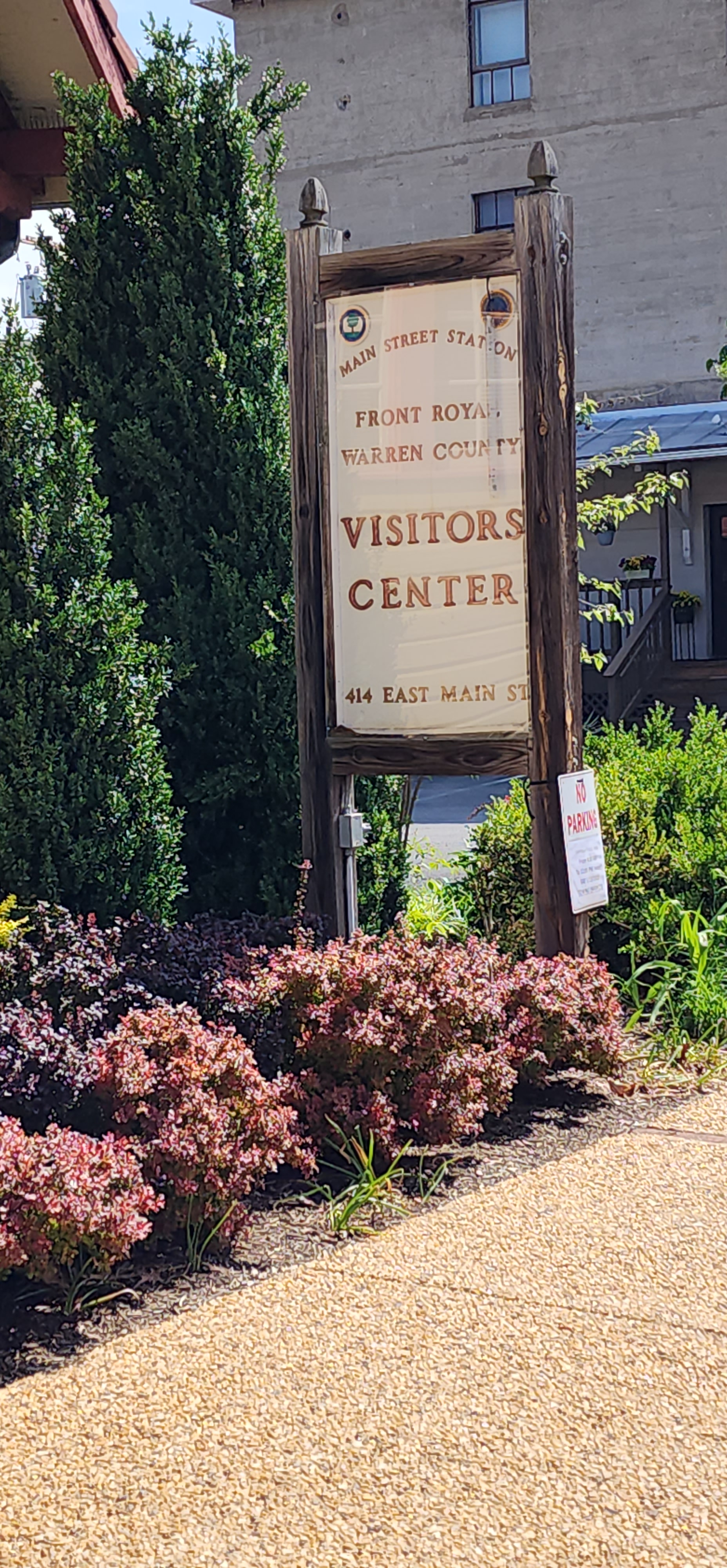
From the Front Royal Visitors Center
Right on Main Street
Right on Royal Street = US 55 and 340
Left on Quadrant Road = US 55 (as you cross the bridge)
Left on Strasburg Road = US 55
Left on Fort Valley Road = VA 678
Straight on Fort Valley Road / Camp Roosevelt Road = VA 675
Left on North Egypt Bend Road = VA 684
Right on Bixlers Ferry Road = VA 675
Left on North Broad Street = US 340
Right on Main Street Front Royal