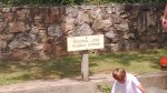
Historical Comments: This is one of the larger stops on the canal. It is easy to image that the area hasn’t changed much since the canal stopped operations in 1924. Lockhouse 70 is right next to the canal and is where the lock tender and family lived.
Lockhouse 70, situated right next to the canal, was once the residence of the lock tender and their family.
Today, Lockhouse 70 serves as a small museum open on weekends, offering insights into the Old Town area.
Thomas Cresap, a frontiersman and friend of George Washington, settled in Old Town in the early 1740s and established a fort near the Potomac River. One of the oldest structures in Allegany County, Maryland, is the 1764 Michael Cresap house, built by Thomas Cresap’s son, Michael.
Ride to the Site: he Old Town location is off the main road, so be sure to follow the road signs carefully to reach the park.
Amenities: When we visited there were portable toilets and a single picnic table.
Road Conditions (from main road): Paved all the way to the parking lot.
Railway Situation: There are no railway crossings to navigate..
Parking Lot Conditions: Small gravel heavily packed.
Main Attractions: The main attractions include Lock 70 and the small museum.
My Thoughts: Old Town is a charming destination for a weekend day ride
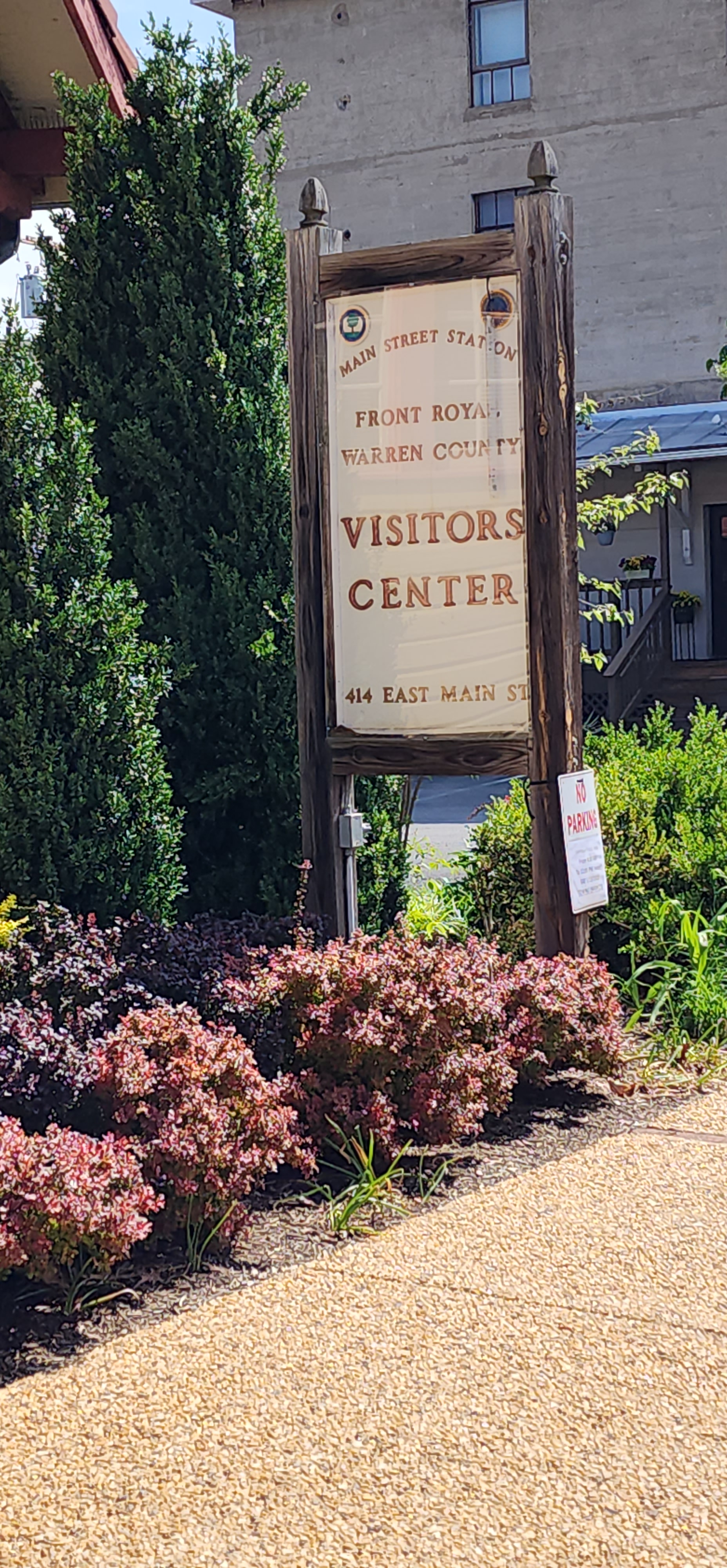
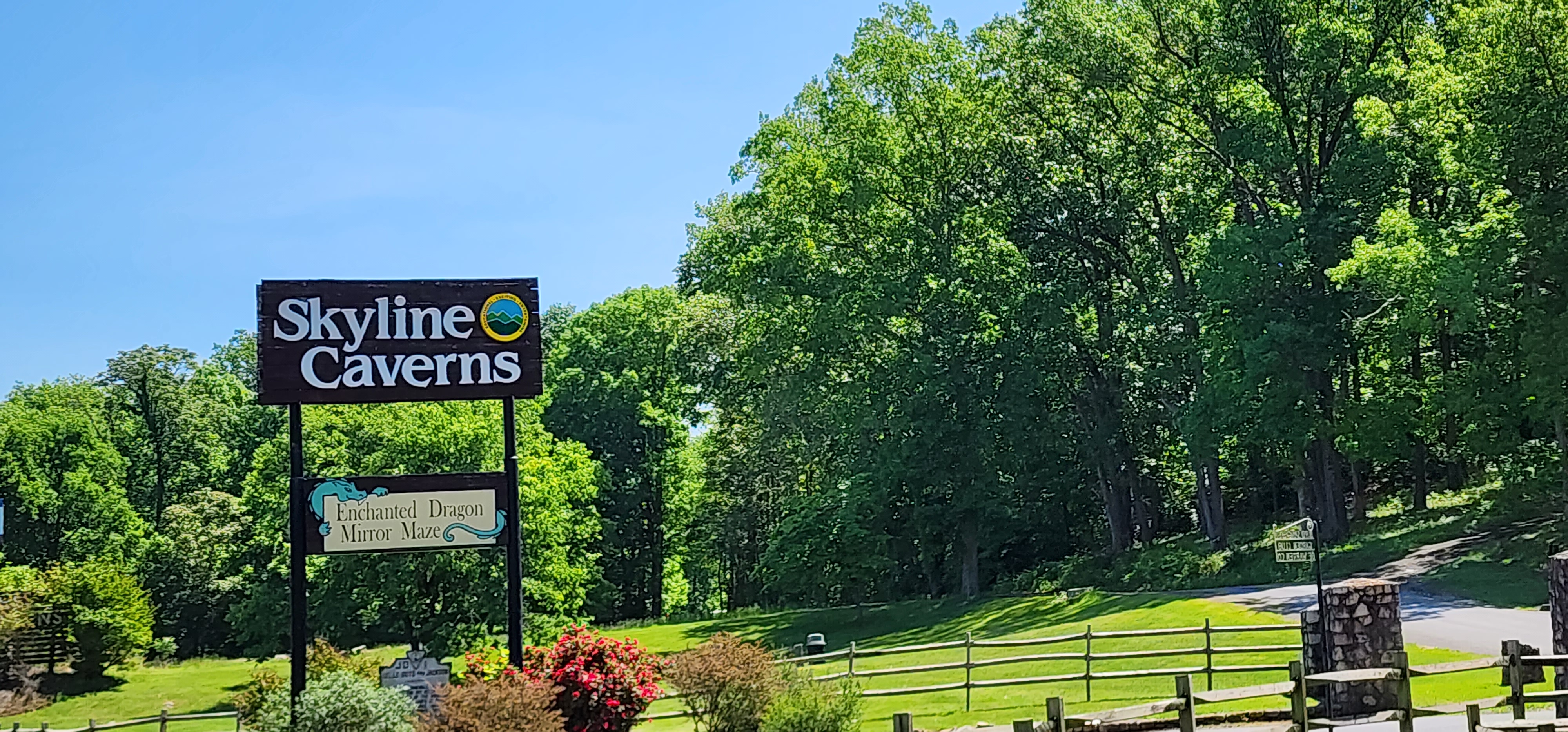
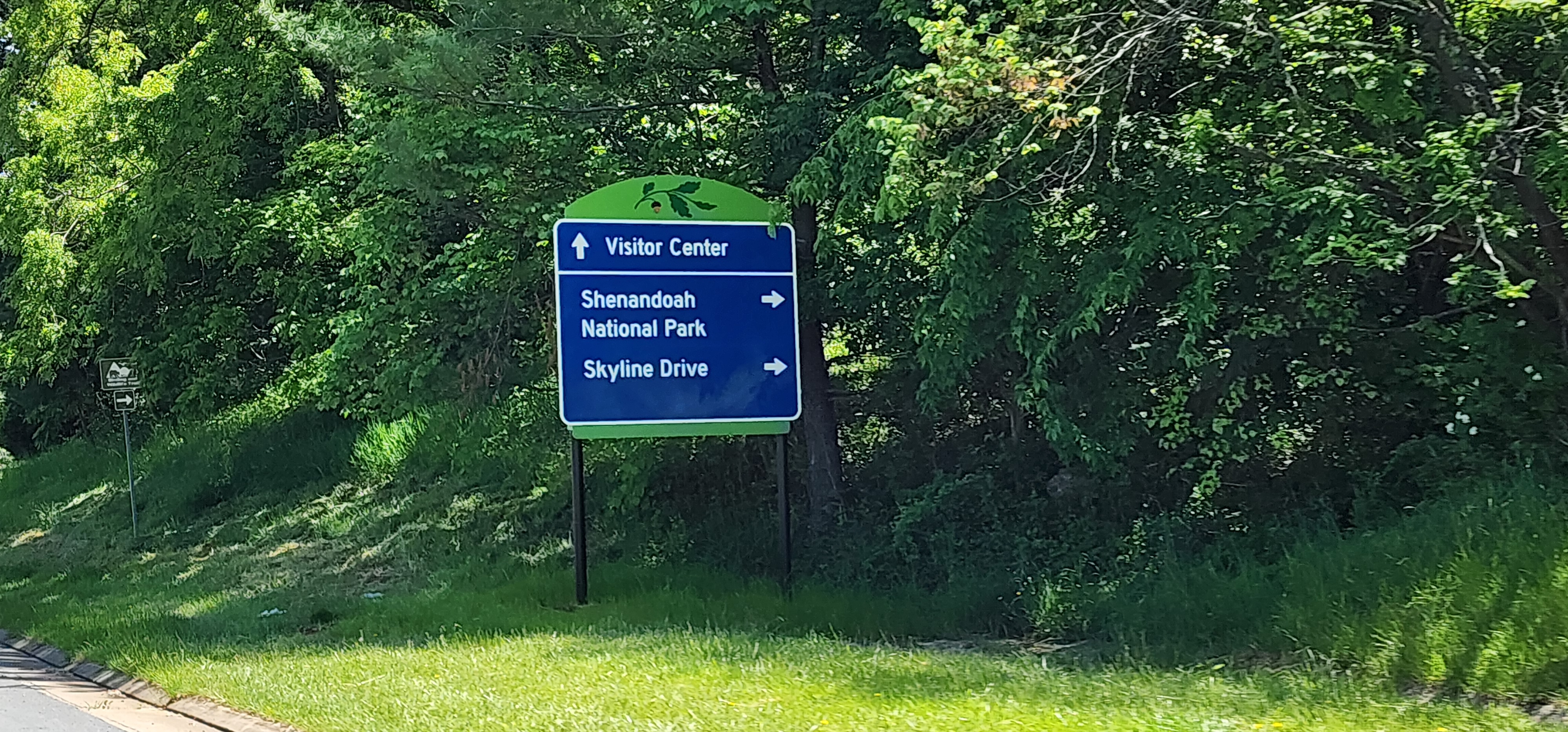
Front Royal is set at the northern end of Skyline Drive, one of the premier motorcycling destinations on the east coast. Thousands of motorcyclists pass through Front Royal on their way to Skyline Drive or to parts unknown as they leave the National Park. At most they spend a night in town before heading on their way.
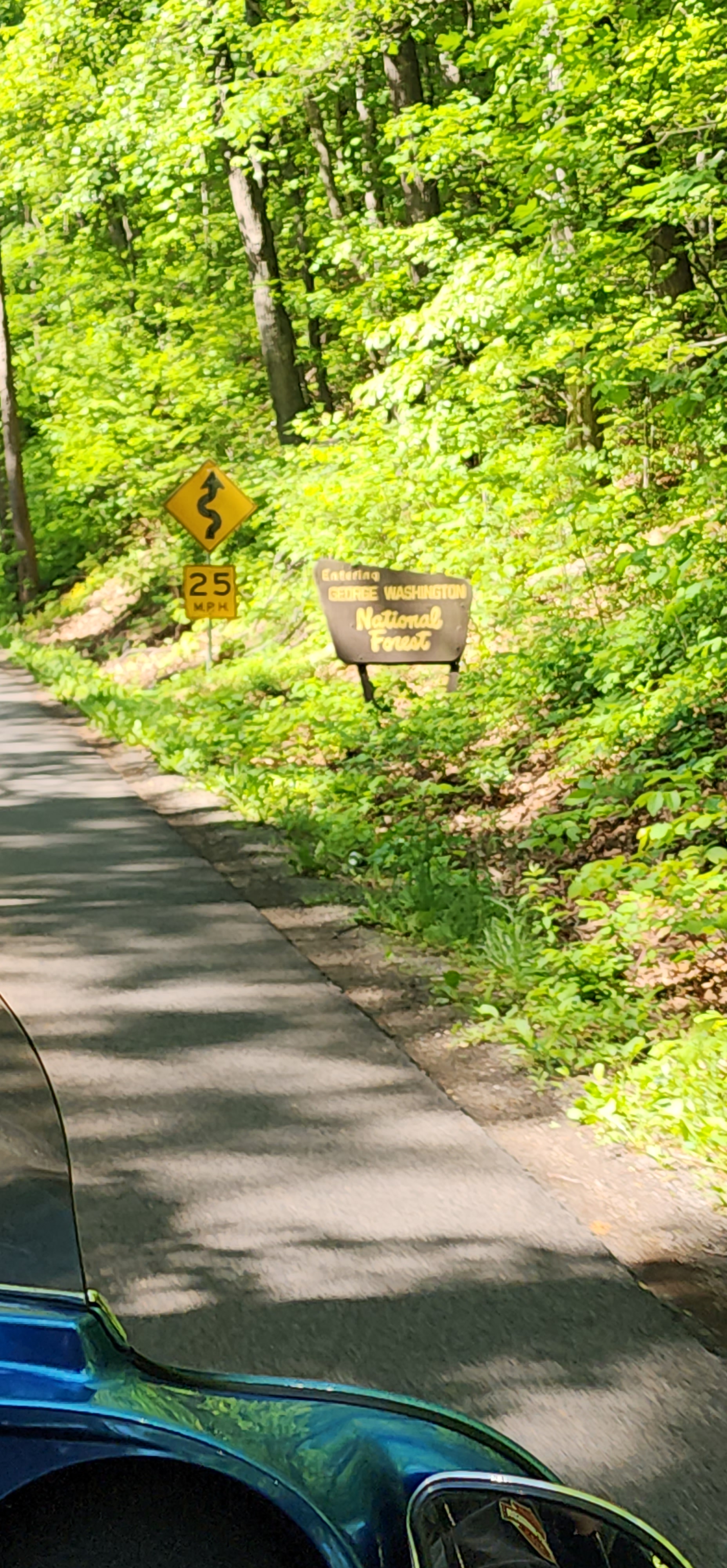
However, riders should spend a day or two riding in the Front Royal area. There are more than a few great riding roads and routes that will appeal to every motorcycle rider. Adventure bikers, you can check out the availability of roads in the George Washington National Forest as some become open to motorcycles, there is even a Jeep “Trail of Honor” that will put your skills to the test.
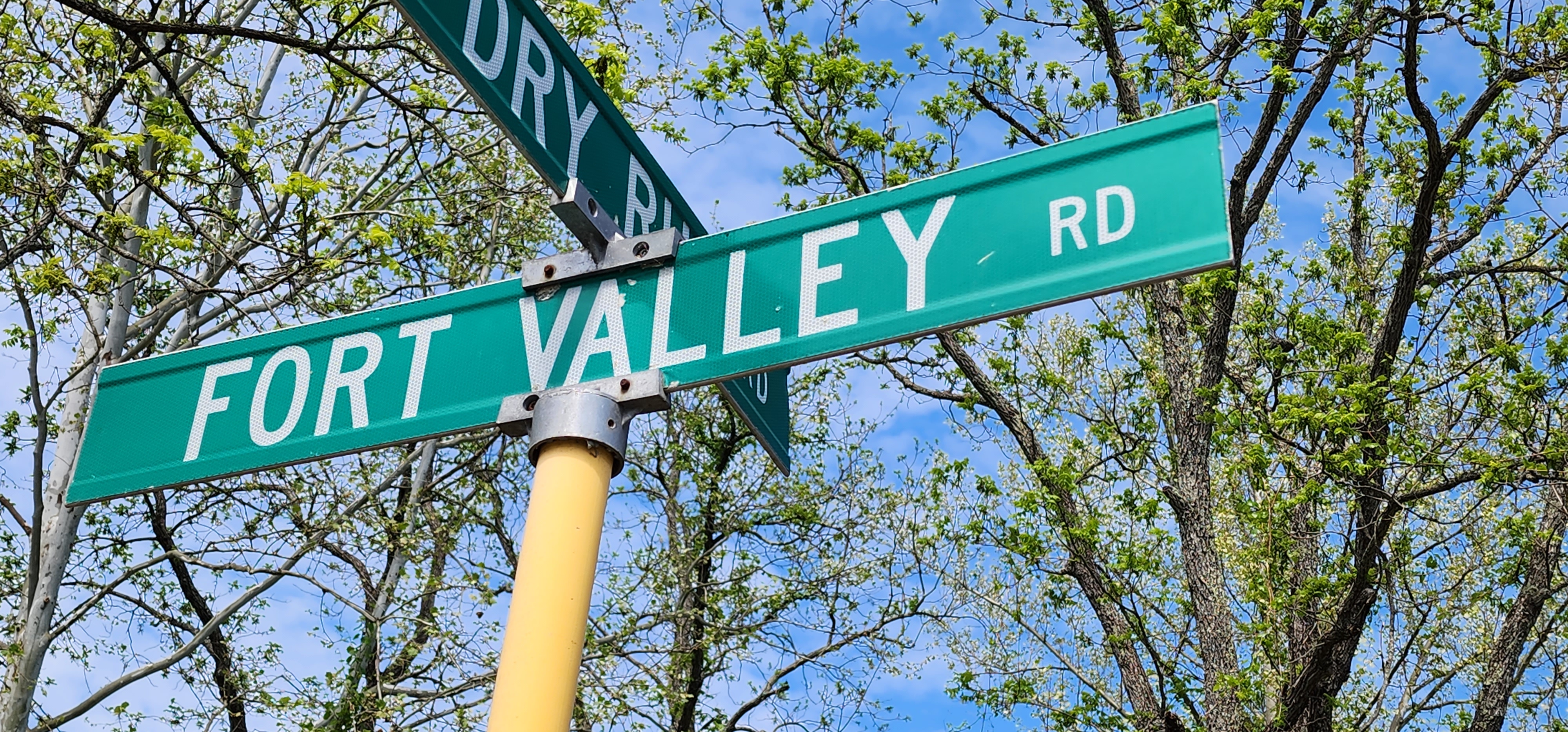
Fort Valley was first surveyed by George Washington in 1748. Washington would later make plans for Fort Valley to be his winter retreat, had the revolutionary army been defeated, as it has a lot of natural defensive features.
Between the Revolutionary War and the Civil War, the valley was a major source of pig iron for the new nation. During the Civil War the mountains surrounding the valley served as observation posts for the Confederate Army, overlooking multiple local battles.
Canyon Carving and Valley Riding
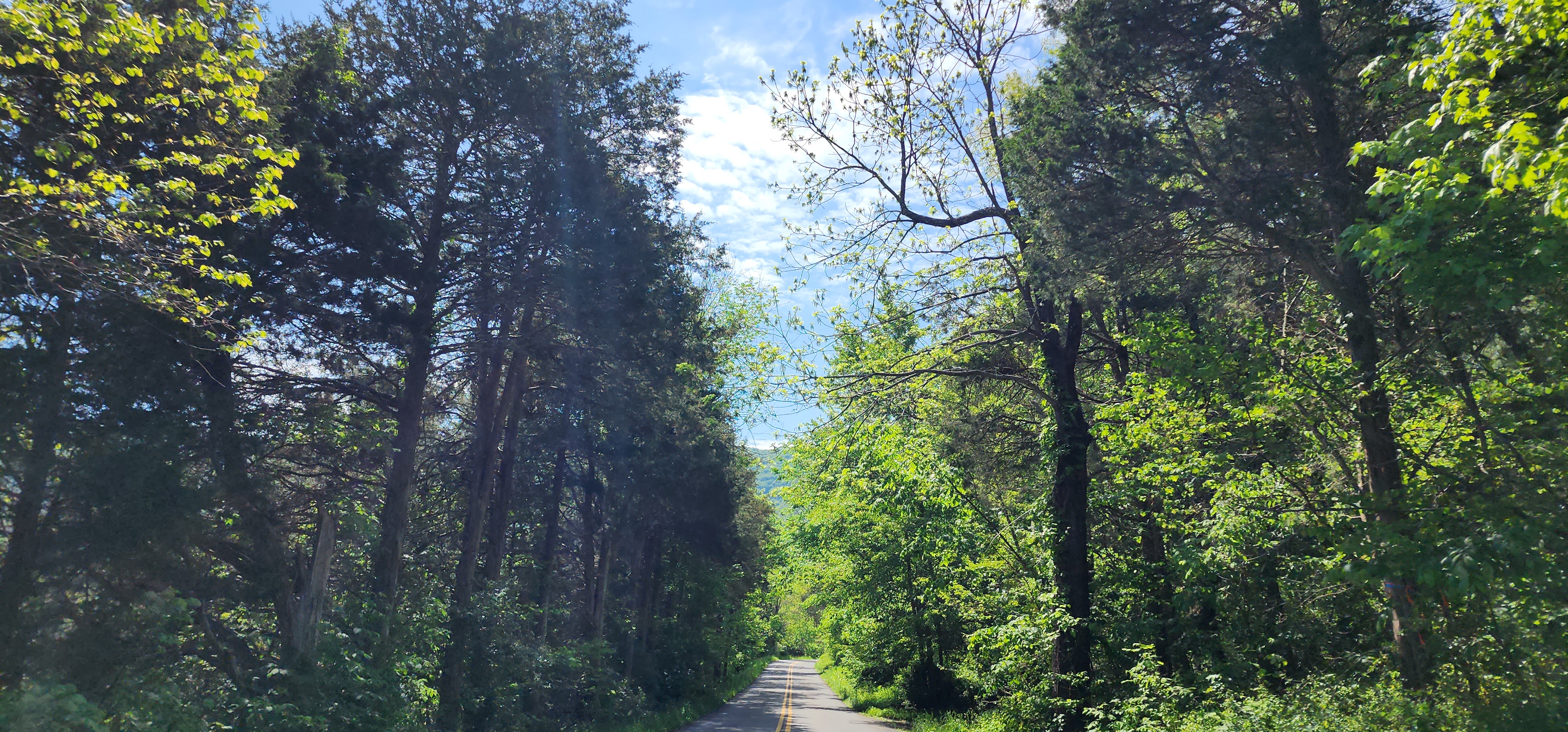
One of the best kept “secret” motorcycle riding roads around Front Royal is Fort Valley Road. A ride that is part canyon carving and relaxing valley riding. The ride will take about 2-3 hours, depending on how often you stop to take pictures or visit some of the local attractions along the way.
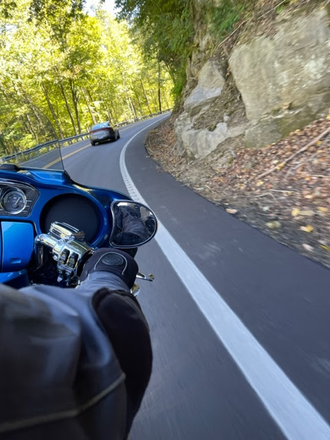
Once you turn onto Fort Valley Road it is just a few minutes before you are whipping your motorcycle through a tight canyon. Rock wall cliffs on one side and a sharp drop into creek on the other will keep your attention very tightly focused. After a while, that canyon passage will open into a farming valley.
You will ride for miles through a mix of green and amber fields intermixed with forest treescapes. This is the part of the ride that will have you sitting back and admiring the views of the steep mountains to your left and right and the family farms you motorcycle through.
But before long you are at the southern end of the valley where you will encounter an unmarked section of the road. This part of Fort Valley Road is a steep climb out of the valley through twists and tight hairpin curves. As soon as you crest the top of the mountain you will begin a just as steep drop to the bottom of the mountain. The views of the Shenandoah Valley as you descend can be quite awesome.
Once at the bottom you will leave Fort Valley Road and make your way back to Front Royal via US 340. You will find that when you get back you just might want to do this loop a second time.
My most recent stop on the C&O Canal is Nolands Ferry. For background on what I am doing with the C&O please look at this post.
Location – Nolands Ferry
Mile Marker – 44.6
Historical Comments -The reported location Martha Washington crossed the Potomac River on the way to visit George Washington at Valley Forge.
Nolands Ferry is also a Paleo-Indian period archeological site listed on the National Register of Historic Places. More information on the archeological site can be found here.
Ride to Site – Getting to Nolands Ferry requires you ride through abundant farm land. Be on the lookout for slow moving farm equipment. Pay attention as well for deer and other wildlife crossing the road.
Amenities – picnic tables, boat ramp, restrooms
Road Conditions (from main road) – First half paved, second half hard packed gravel/cinder
Railway Situation – Underpass
Parking Lot Conditions – Hard packed gravel and cinder, use a kickstand puck.
Main Attraction – Boat ramp
My Thoughts –This site is primarily a boat access point for the Potomac River and a rest stop for those using the C&O trail. It is interesting in that the road to the amenities passes through what, I think, is the remains of the canal and lock.
Well, Paw Paw, West Virginia was not the intended destination, in fact, we just went out to ride.
We pulled out about ten in the morning (on the Ultra Limited) and head west on Route 7. I noticed the exit for Virginia State Route 9 and decided, what the heck let’s see where Route 9 goes. We knew it went north to Martinsburg, WV but that was about it.
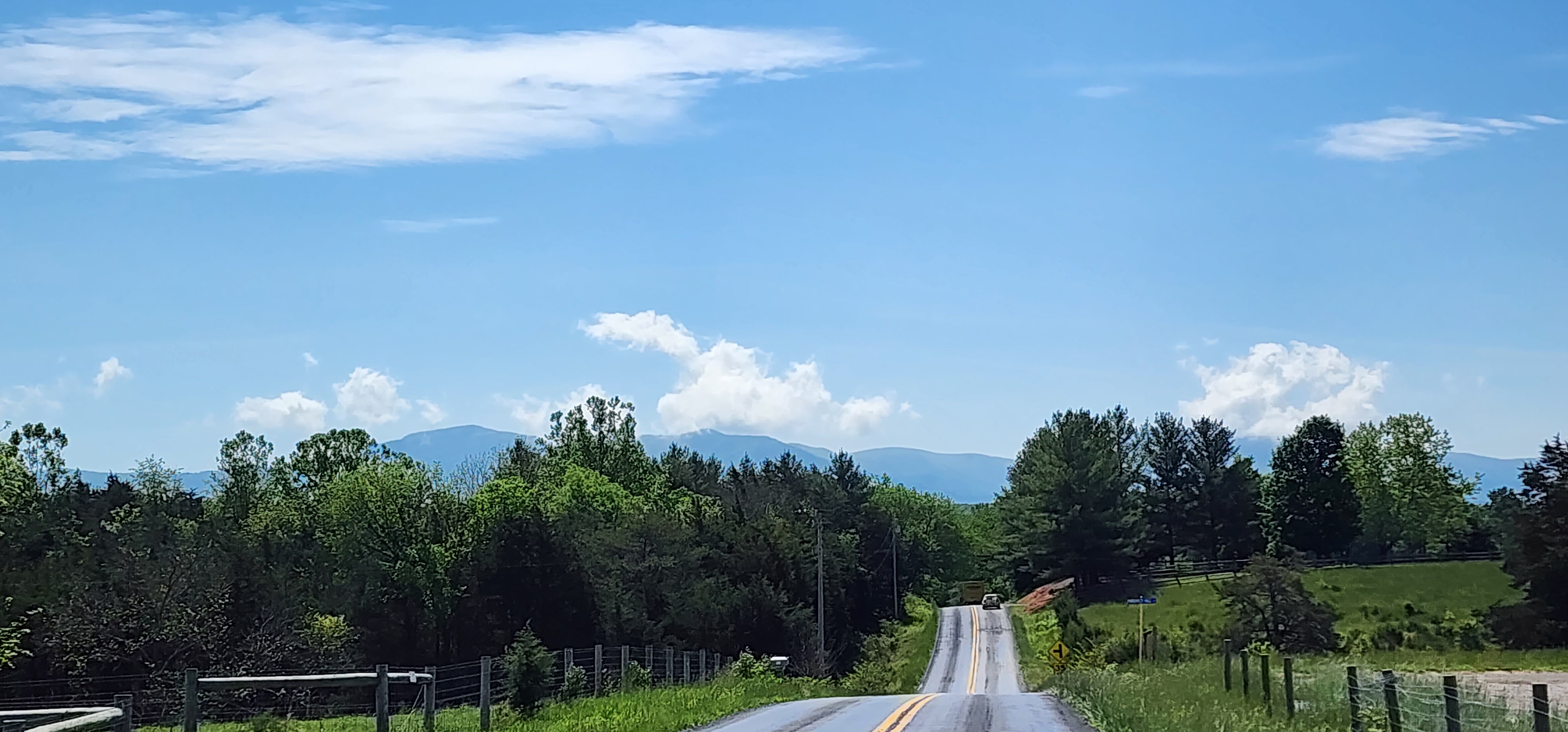
Route 9 in Virginia is also known as Charles Town Pike and passes through rolling farmland and the towns of Paeonian Springs (which has a historic district) and Hillsboro. Hillsboro sets in the middle of a gap in the Blue Ridge Mountains. A short climb out of Hillsboro and you have a great view of Eastern Panhandle of West Virginia.
RT 9 at WV/VA boarder
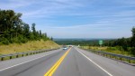
At this point VA Route 9 becomes WV Route 9 and also becomes a four line highway. While we did not take the road, by the looks of the area I can image that “old 9” down the mountain would be full of twistiness! Crossing the Shenandoah River we scooted through Charles Town and Martinsburg, we did not stop to look around, today was just about riding. A little after Martinsburg the road becomes a 2 lane again.
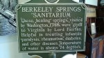
When we reached Berkeley Springs we did stop. Right in the middle of the town is the Berkeley Springs State Park. The town (its real name is Bath) was considered the country’s first spa and resort area because of the mineral spring producing 2,000 gallons a minute. George Washington even visited the springs. Heck the town even has a castle!
Continuing on Route 9, up the mountain out of Berkeley Springs we summited to a spectacular view of the Potomac River in the valley below. We decided to have lunch across the street from the fabulous view at Panorama at the Peak restaurant. This is a farm to table, organic, restaurant and the food was awesome!
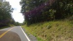
Back on the bike we rode down the mountain and into the Cacapon River Valley. This stretch of road from Berkeley Springs to Paw Paw was very lightly traveled, I doubt that we passed a dozen cars. It undulates along the Cacapon River and was just a very nice ride!
Riding in the Cacapon River valley
We reached the end of WV 9 when we hit Paw Paw. It is a very small town at the intersection of WV 9 and 29 and was the point where we began our return trip. We did not retrace our route instead we zigged and zagged through a variety of roads until we reached Route 7 at Winchester, VA. After stopping at the Winchester Sonic restaurant for ice cream (I love there coconut milkshakes) we quickly made it back home.
We put in 198 miles on this trip with only a few stops….it was a great day with the wife and the bike!