Skip to content
Facebook
Twitter
YouTube
Search
I JUST WANT 2 RIDE!!
Home
Motorcycle Bucket List
About this motorcycle blog
A Podcast for the 2 Wheel World
Awards (well kinda)
C&O Canal
February 16, 2026
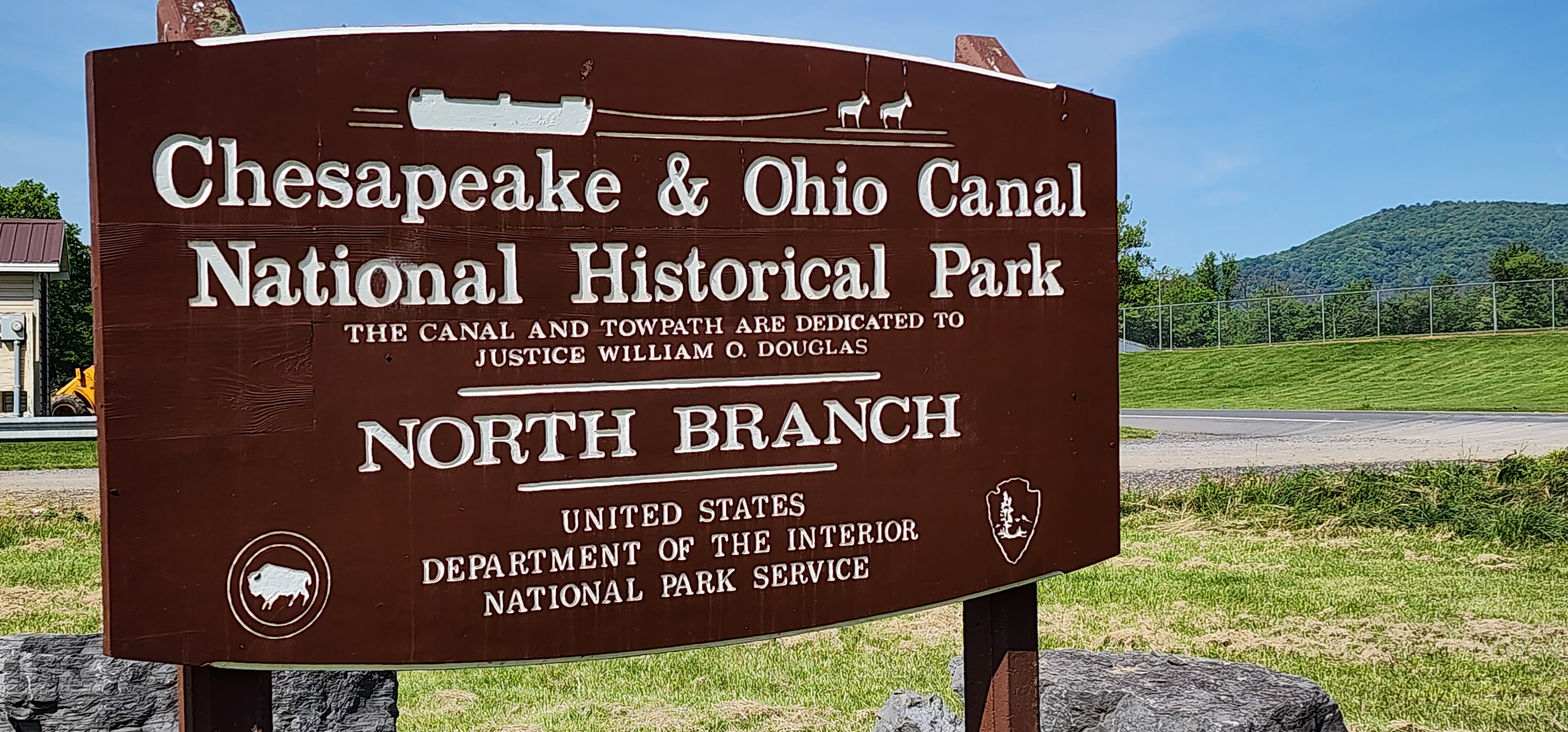
C&O Canal Lock 75 Motorcycle Stop – North Branch Lockhouse Guide
warrenscottmassey
August 6, 2025
Old Town & Lock 70: C & O Canal Motorcycle Ride
warrenscottmassey
August 24, 2018
Ferry Hill Plantation: C&O Canal Motorcycle Ride
warrenscottmassey
August 13, 2018
Dam #5: C and O Canal Motorcycle Ride
warrenscottmassey
September 19, 2017
Lock 6: C and O Canal Motorcycle Ride
warrenscottmassey
August 16, 2017
Lock 8: C and O Canal Motorcycle Ride
warrenscottmassey
August 12, 2017
Motorcycle Ride: 3 National Parks in 5 Hours
warrenscottmassey
August 7, 2017
Lock 10: C and O Canal Motorcycle Ride
warrenscottmassey
June 11, 2015
Hancock Visitor Center: C and O Canal Motorcycle Ride
warrenscottmassey
June 9, 2015
Out and About on our Motorcycle
warrenscottmassey
1
2
Next Page
Archives
News.
Recalls.
Touring
.
Ride to Eat
.
Vintage
.
Moto TV
.
Moto
Rides
.
C&O Canal
.
Loading Comments...
Write a Comment...
Email (Required)
Name (Required)
Website