This post is another installment in my Chesapeake & Ohio Canal motorcycle tour, where my goal is to visit every motorcycle‑accessible stop along the 184‑mile C&O Canal, stretching from Washington, DC to New Cumberland, Maryland.
Location:
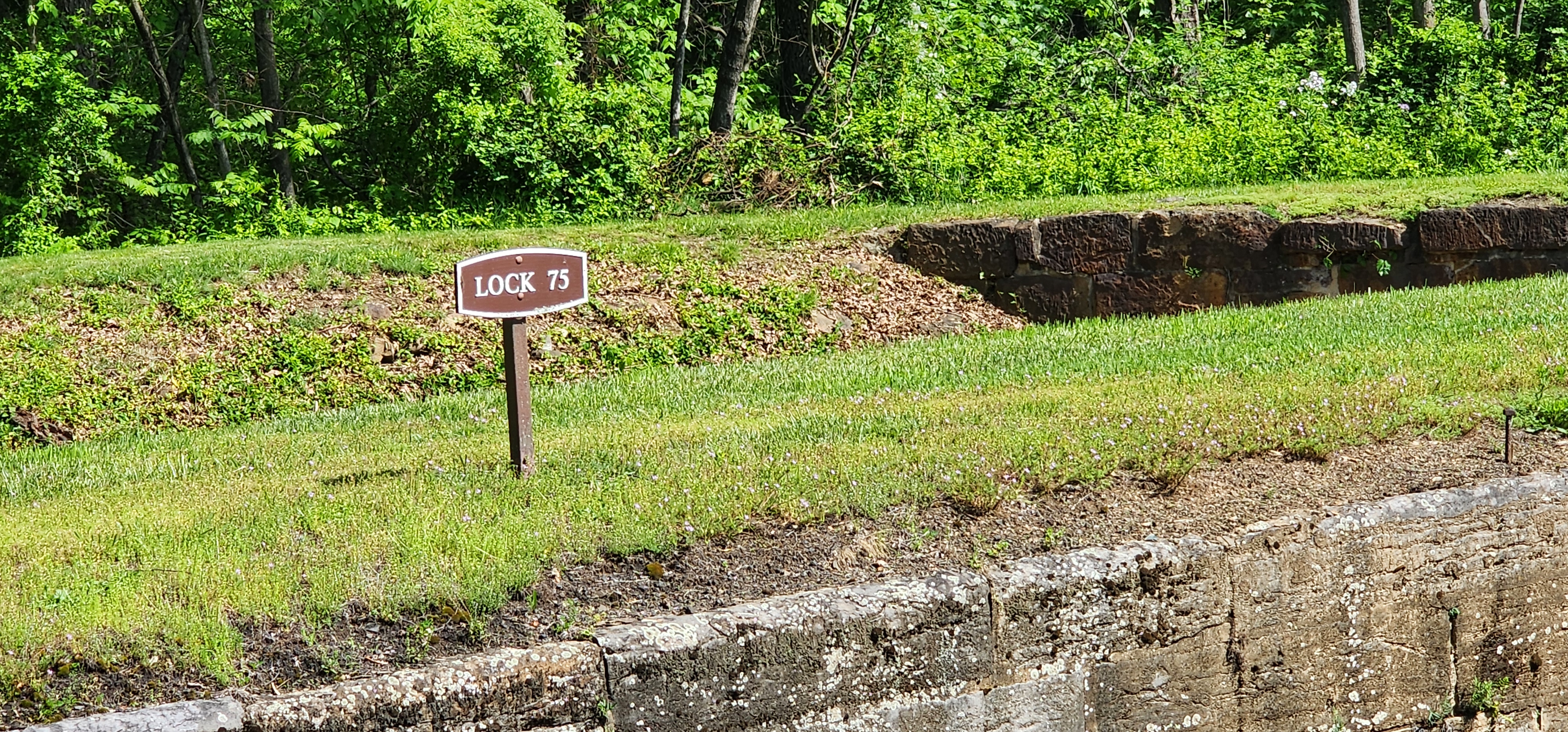
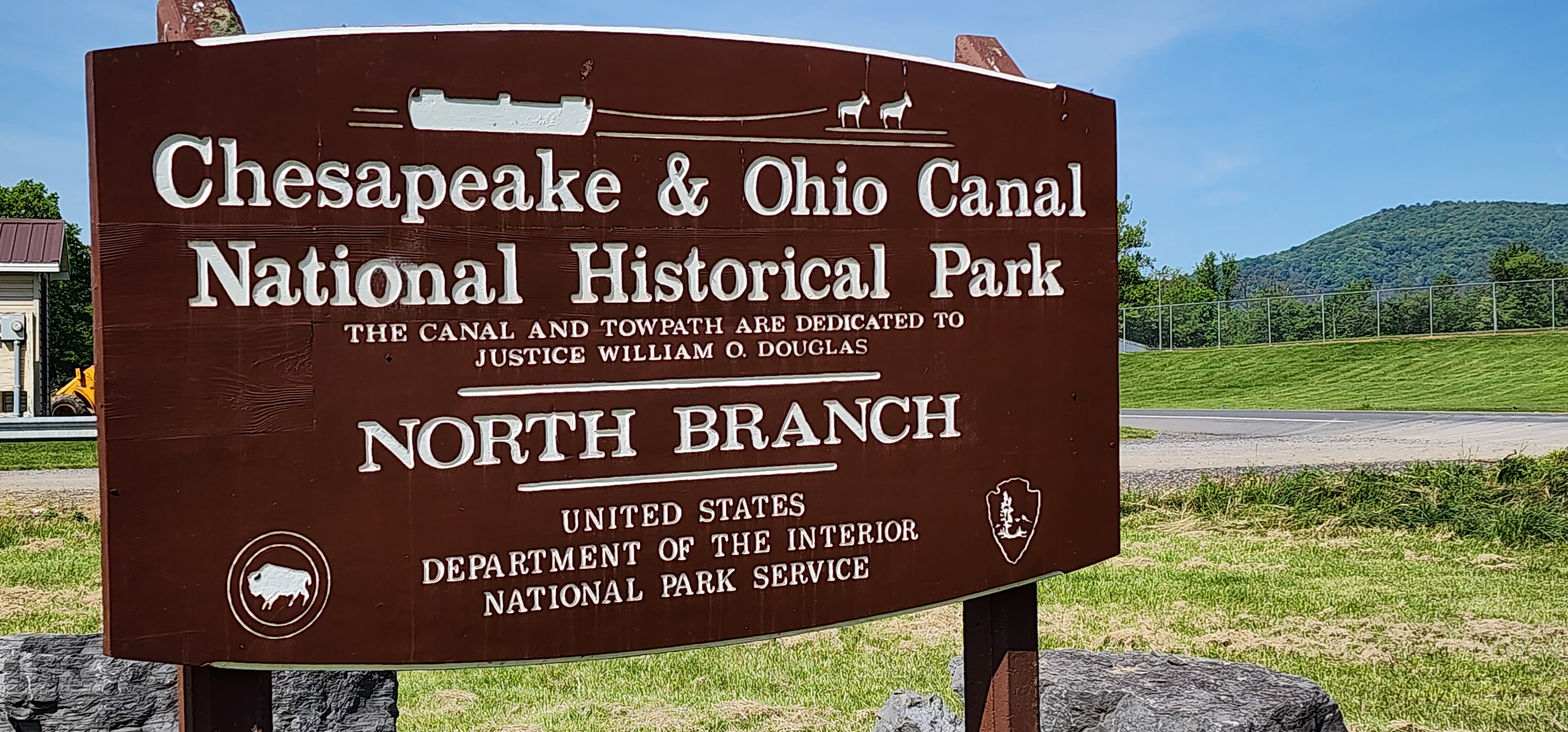
North Branch Lock 75 C&O Canal
Mile Marker:
175.7
Historical Comments:
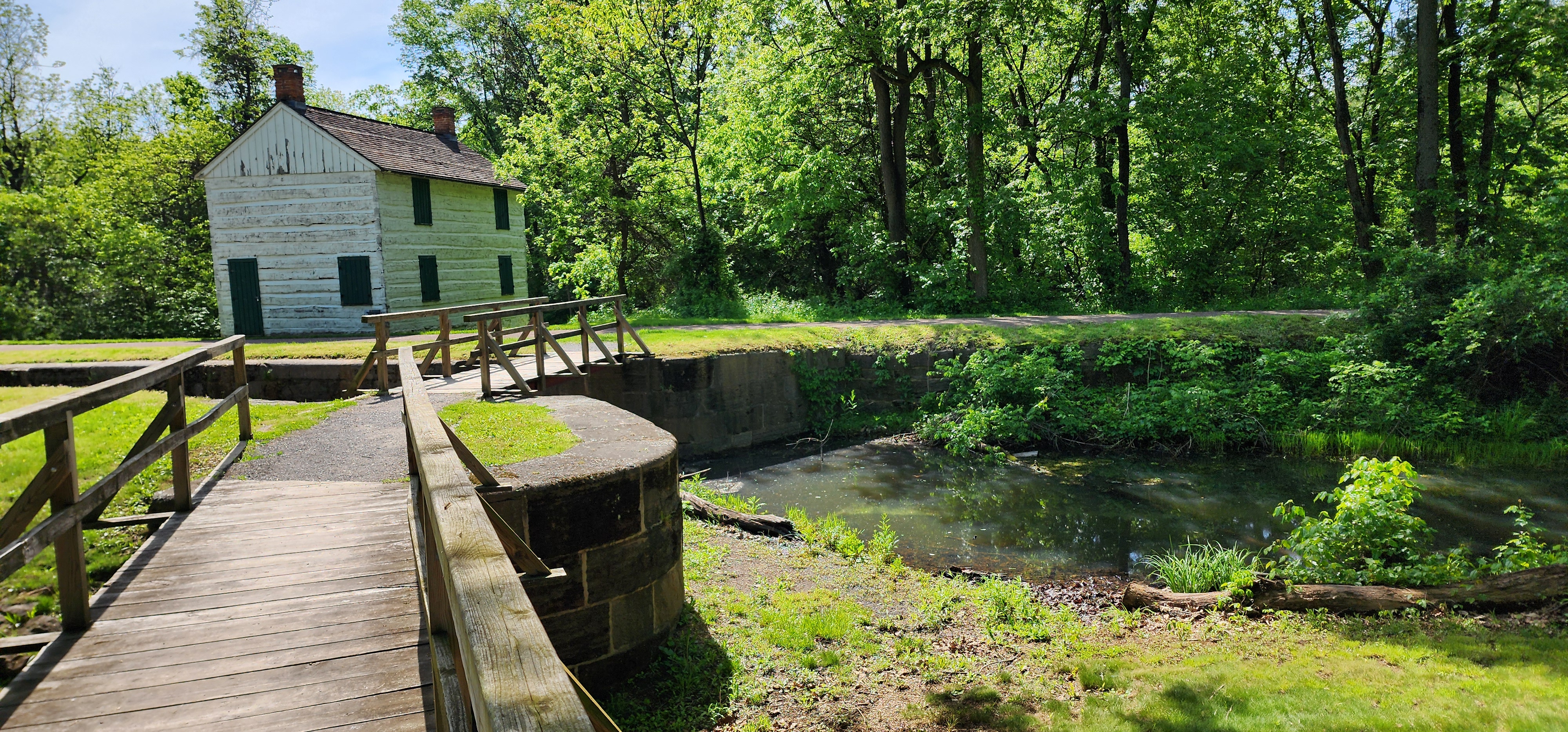
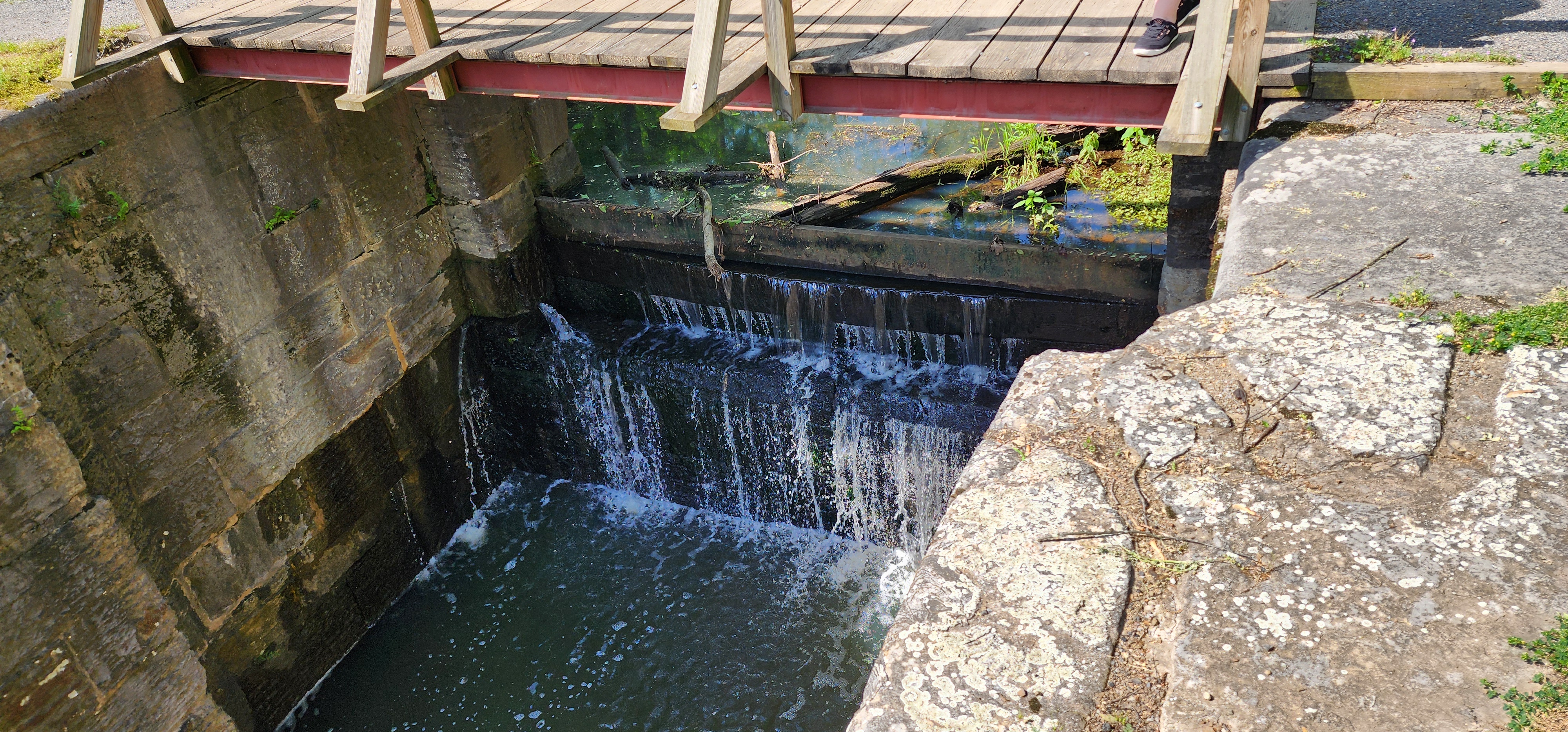
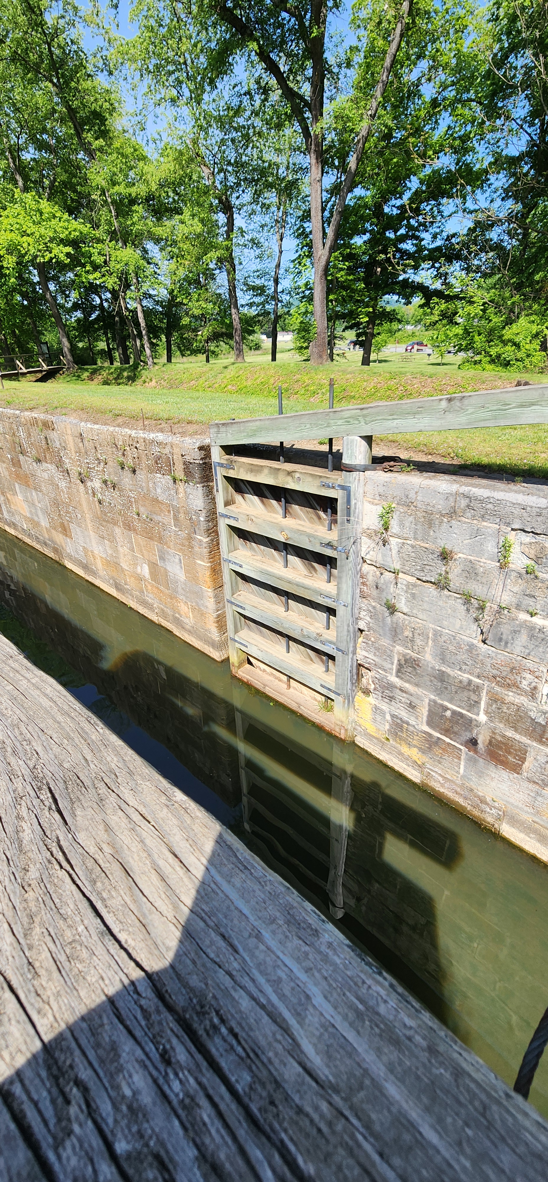
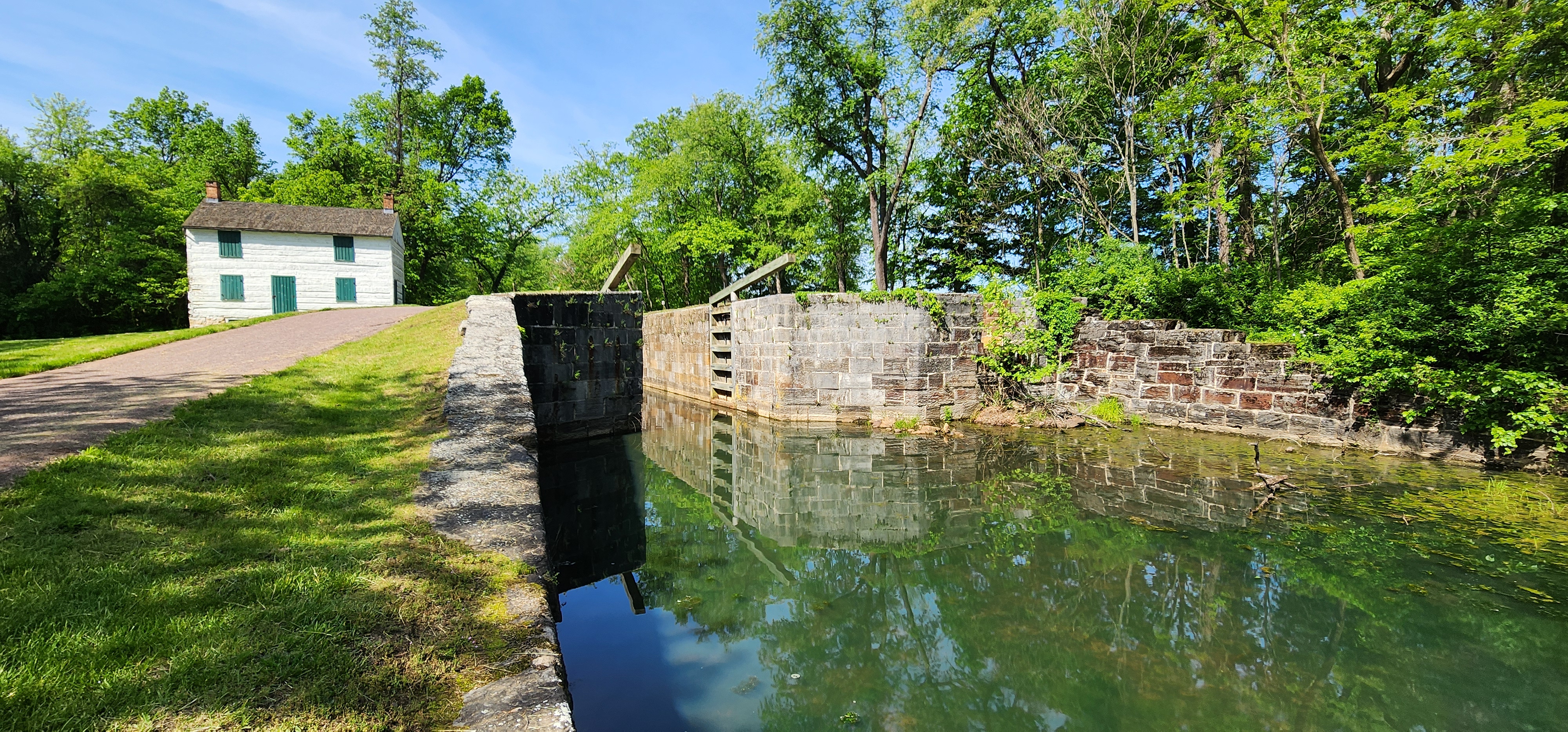
Lock 75 is the final lock on the Chesapeake & Ohio Canal. While it carries the number 75, there were only 74 locks actually built. The unusual numbering comes from construction changes downstream from the Paw Paw Tunnel, where four locks were planned but only three were needed, resulting in Lock 65 being skipped entirely.
The lock was rebuilt in 1869, and new downstream gates were installed in the 1990s.
The original Lockhouse 75 was consumed by beetles, and this version is built on the original foundation.
Ride to the Site: The North Branch Lock 75 site sits off the main road, so riders should pay close attention to posted park signs to avoid missing the turnoff. The approach is straightforward and suitable for street motorcycles.
Amenities:
When we visited there were portable toilets and a couple picnic tables.
Road Conditions (from main road):
Paved all the way to the parking lot.
Railway Situation:
There are no railway crossings to navigate.
Parking Lot Conditions:
Small gravel heavily packed.
Main Attractions:
The main attractions include Lock 75 and the lockhouse tours, when available.
My Thoughts:
Lock 75 makes a great destination stop for riders traveling to western Maryland or completing a C&O Canal route ride. With light traffic, historical depth, and minimal crowds, it’s an easy stop that rewards riders interested in history without requiring off‑road riding.
The C&O Canal is a Maryland and in particular western Maryland, history ride for motorcyclist.
Lock 75 Coordinates
- Latitude: 39.58716° N
- Longitude: -78.74091° W
A few other stops from my Chesapeake & Ohio Canal motorcycle tour include:
Ferry Hill Plantation Williamsport/Cushwa Basin
Hancock Visitors Center Dam #5