Foggy start to the day
This past weekend Debbie and I rode with the Northern Virginia Motorcycle Club (NOVA MC) to see and ride through a bunch of covered bridges in Pennsylvania. This was an all-day ride; we left the house on a foggy Saturday morning at a few minutes after six AM to get to the rally point. The club met up outside a Starbucks in Chantilly, VA before rolling out for the day.
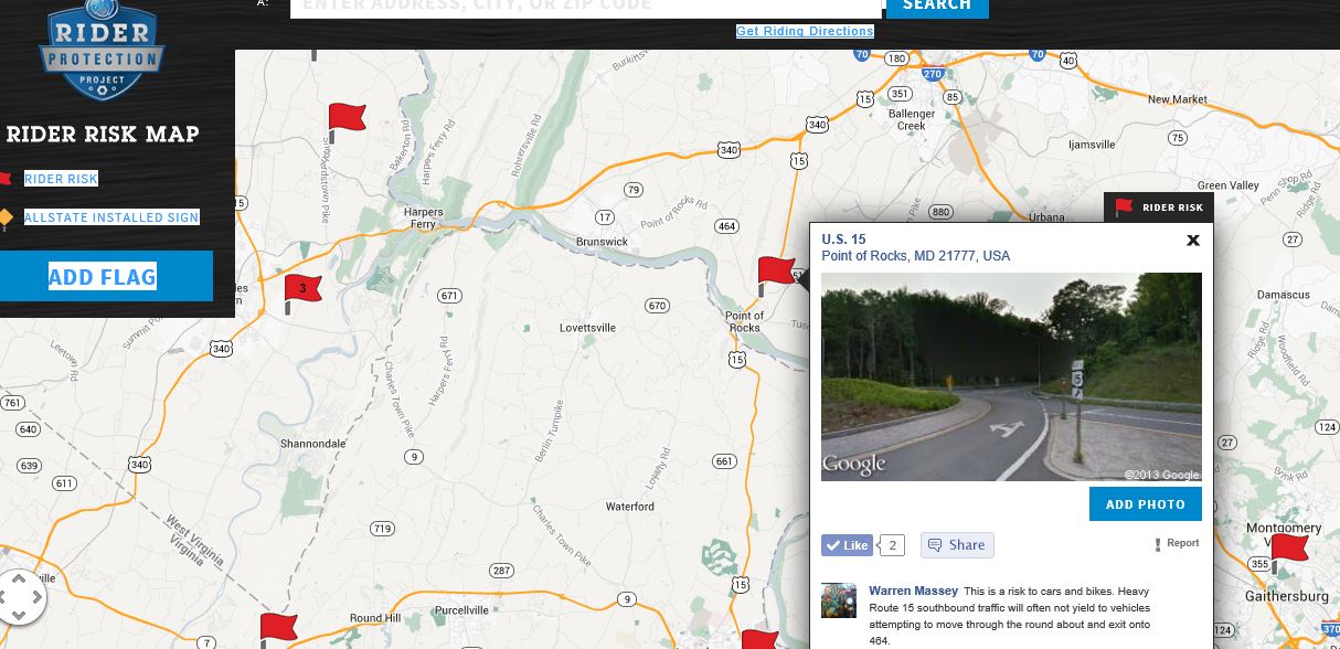
Heading north on US Route 15 we crossed into Maryland at Point of Rocks passed through Frederick and quite soon entered Pennsylvania and the first stop. This bridge was literally just across the state line off of Route 15. I am not sure where we stopped or the name of the bridge but the picture is below. From that point on we attempted to capture a picture of the name or historical marker.
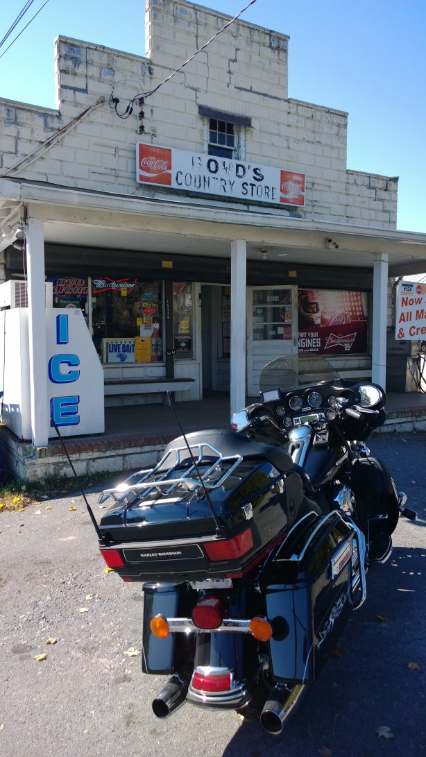
After a bit we rolled out to see the other bridges. About one o’clock we stopped for lunch at The Old Mountain Stone Inn in Bloomfield, PA. The food was good, the company better but the show was the best (LOL). About half way through our lunch a poker run arrived and they were having a lot of fun which made it a lot of fun for us to watch!!

Pennsylvania Amish country.
During lunch we also noticed that the incoming weather was getting much worse and decided to cut the ride a “bit” short. We decided to visit the longest covered bridge (271 feet) in PA, the Academia Bridge. From there we jumped on PA Route 75, which passed through the Pennsylvania Amish country.
Storm Chaser Powers ACTIVATE!
It was on Route 75 were we got the wettest! While we had experienced sprinkles and light rain we got a downpour, and of course nowhere to really pull over. We finally reached a gas station where Debbie and I did the group a big favor; we put on our rain suits, which normally guarantees the rain will stop. We split off from the main group to head home shortly after that stop and we might have had ten rain drops from that point on! I hope the others fared as well!
About Northern Virginia Motorcycle Club
NOVA MC is a “Meetup.com” group that “is for motorcycle enthusiasts who are interested in taking short jaunts, usually on weekends, around Virginia’s highways and byways.” Debbie and I discovered them about a year ago and this was our second ride with the club. I have to say that we have tried to ride more with them but life, schedules and other events have conspired to limit our experience with the club. BUT, I can say that without hesitation, if your live in Northern Virginia and want to ride in a motorcycle agnostic environment and want to have a good time, check them out!
-
-
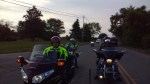
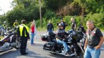
Setting out for the ride
-

-
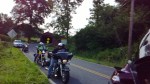
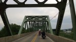
On the road!
-

-
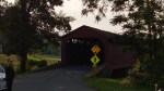
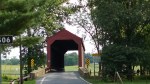
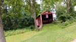
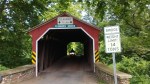
Covered Bridge #1
-
-
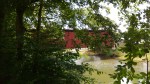
Covered Bridge #1
-
-
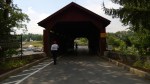
Covered Bridge #1
-
-
Hanging around
-

-
Children of the Corn
-

-
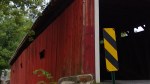
Covered Bridge
-

-
Covered Bridge
-

-
Covered Bridge #2
-
-
Covered Bridge #2
-

-
Debbie and me at Covered Bridge #2
-

-
Covered Bridge #2
-

-
Covered Bridge #2
-

-
Covered Bridge #2
-
-
Covered Bridge #2
-
-
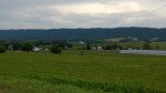
Farm Country
-
-
Covered Bridge #3
-

-
Covered Bridge #4
-
-
Covered Bridge #4
-
-
Covered Bridge #4
-

-
Covered Bridge #4
-

-
Covered Bridge #4
-

-
Covered Bridge #4
-

-
Covered Bridge #5
-

-
Covered Bridge #5
-
-
Covered Bridge #5
-

-
Covered Bridge #5
-

-
Covered Bridge #5
-

-
Covered Bridge #5
-

-
Poker Run Bike
-
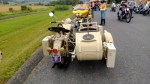
-
Poker Run Motorcycle
-

-
Poker Run Leaving
-

-
Covered Bridge #6
-

-
Covered Bridge #6
-

-
Mill next to bridge #6
-

-
Mill next to bridge #6
-

-
Covered Bridge #7
-
-
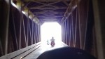
Me riding across Covered Bridge #7
-

-
Motorcycle rest stop
-
-
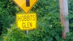
Not a covered bridge
-

-
Covered Bridge #8
-

-
Covered Bridge #8
-

-
Covered Bridge #8
-

-
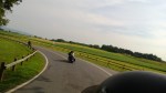
PA Route 75 before the rain
-
-
Amish Country
-

-
Amish Country
-

-
Amish Country
-

-
Amish Country
-

-
Amish Country
-

-
Amish Country
-

-
Amish Country
-

-
Amish Country
-

-
Bloomfield, PA